A city search can have many answers
A city name identifies a place, while a postal code supports mail sorting and delivery. Searching a large city commonly produces several postal areas. Select the relevant locality and compare it with the recipient’s address before using a code.
A pin is not an area boundary
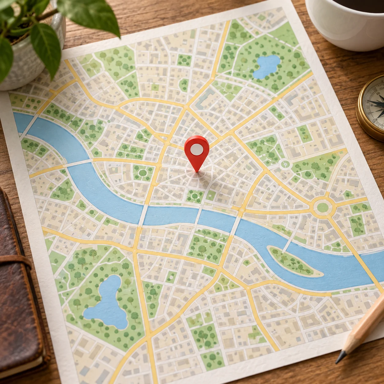
Our data includes point coordinates. GeoNames notes that some are estimated from place names or neighboring postal codes. A map pin represents an approximate location, not a building entrance or a polygon showing the delivery boundary.
Use nearby and distance tools appropriately
Nearby results are based on the available points. The distance tool calculates a straight line between points, not road mileage or delivery time. Two close pins can have different postal codes; physical proximity is not proof of the correct delivery code.